Saarland
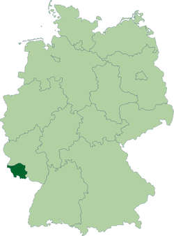
Saarland, Germany © David Liuzzo /
Source: Wikipedia Commons
|
|
Geography
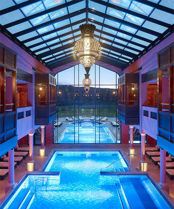
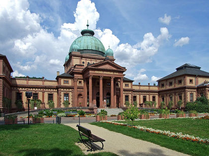 The “Kaiser Wilhelms Bad” in the "Kurpark" of Bad Homburg, Hesse, Germany
Saarland is in the southwestern portion of Germany. It is bordered by the state of Rhineland-Palatinate to the north and east and by the countries of France to the south and southwest, and Luxembourg to the northwest.
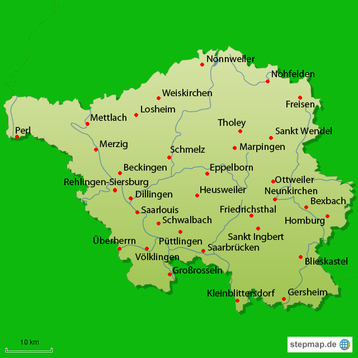
Saarland is named after the Saar River, a tributary of the Moselle River (itself a tributary of the Rhine), which runs through the state from the south to the northwest. One third of the land area of the Saarland is covered by forest. The state is generally hilly; the highest mountain is the Dollberg.
Saarland is named after the Saar River, a tributary of the Moselle River (itself a tributary of the Rhine), which runs through the state from the south to the northwest. One third of the land area of the Saarland is covered by forest. The state is generally hilly; the highest mountain is the Dollberg.
Cities
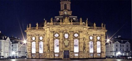 Ludwig Church in Saarbrücken ©Tourismus Zentrale Saarland
Capital: Saarbrücken
Other Cities: Homburg, Neunkirchen, Saarlouis, and Völklingen
Other Cities: Homburg, Neunkirchen, Saarlouis, and Völklingen
Information and Attractions: Click on the sites below for information and attractions.
Below are videos about Saarland.
|
|
|
Photos used under Creative Commons from
